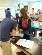
| 8th graders in Ms. Denham's class are learning how topographic maps are made and used. By taking a three dimensional model of an island volcano, students are converting its shape into a two dimensional representation called a topographic map. As water elevation increases, students trace the land's contours on a map. When finished, they have a simple topographic map that shows how elevation changes. 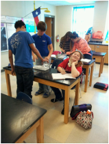
| 
|
 RSS Feed